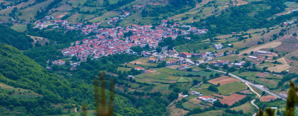
Kokkinopilos
The village Kokkinoplos or Kokkinopilos has become a holiday and relaxation spot, since it is the highest village on Olympus. It has an altitude of 1150m and its stone-built houses hanging from the mountain slopes create an impressive setting. Its name is linked to kokkinochoma (= red soil), which is an important substance for the village. Due to the region’s particular soil consistency, the local people are involved in the production of lime, apart from stock-breeding, wood-cutting and farming.
Leptokarya
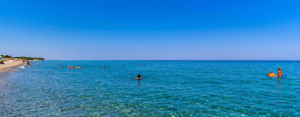
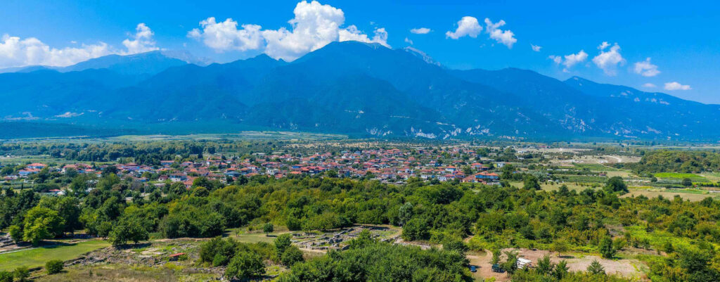
Leptokarya is an area of rare natural beauty and historical interest. It has a wide beach and very well-organised tourist infrastructure in terms of accommodation, market and entertainment explain the fact that it attracts thousands of tourists during the summer. The deserted village bearing the same name is near ancient Livithra.
Karya
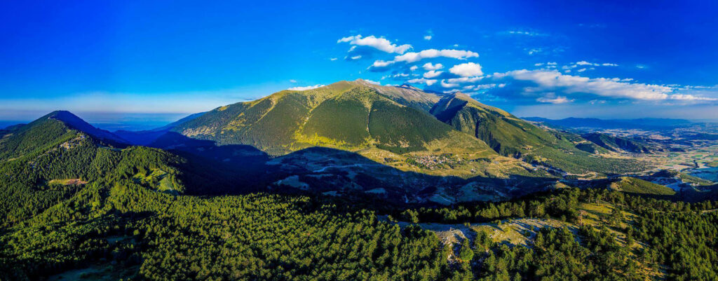
Karya village is cradled in a nook on Lower Olympus at an altitude of 900m and is a popular resort, due to its unique natural setting. It attracts a great number of visitors, who either stay in the area, or pass through Karya and the forests of Lower Olympus, on their way to the prefecture of Pieria and the beaches of Leptokarya. It is also the meeting point for climbers beginning their ascent to the peaks of Olympus: Metamorfosi 2,699m, Frangou t’ Aloni 2,677m and Ennea Pyrgoi 2,450m. North-east of the village there are woods with pine, fir, oak and beech trees covering 4,000 hectares.
Agios Dimitrios
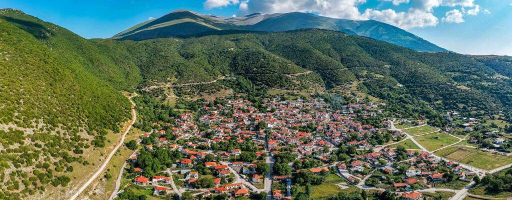
As we follow the national motorway from Katerini to Elassona, after the village of Milia, we pass along an impressive densely-wooded gorge that divides Mount Olympus from the smaller Mount Titaros. These are the famous “Petra narrows”, one of the three big passes of Olympus from ancient times to the present. The gorge waters are used to irrigate fruit trees and “pezoules” (terraced cultivations) where the renowned Agios Dimitrios beans are cultivated; the area used to have watermills and “Mantania” (Fulling Mills). 33 km from Katerini lies the village of Agios Dimitrios which was formed from smaller villages in the 15th century. Many of the villagers were executed during the German Occupation due to their participation in the national resistance and the village was burned down three times by the Occupation forces. The Village of Agios Dimitrios still preserves old stone-built houses with wooden balconies, while the shops and taverns offer local products.
Azoros
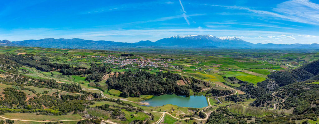
Azoros is built at an altitude of 520m and is identified with ancient Azoros, one of the towns of the Perraivic Tripolitida. It was named after the helmsman of Argo, Azoros, who took part in the Argonautic expedition. During the years of Turkish rule, the village was a dependency of the Monastery of Olympiotissa.
Dion