Route length 9K, moderate difficulty, duration approximately 5 hours.
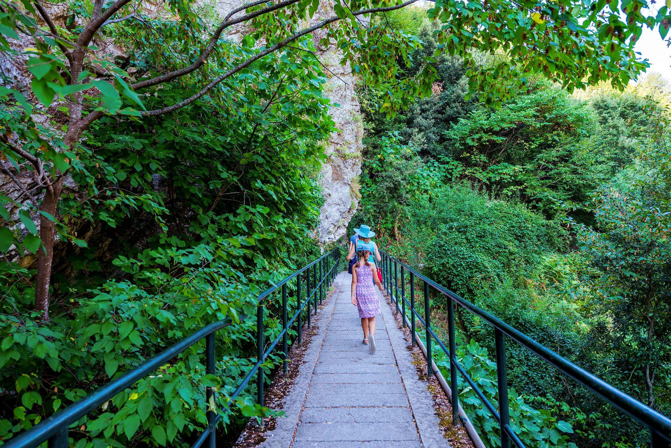
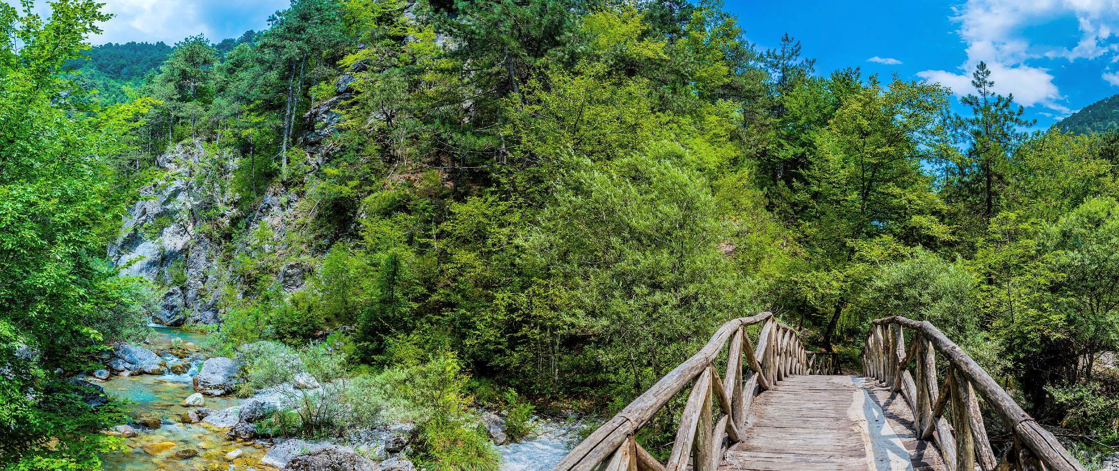
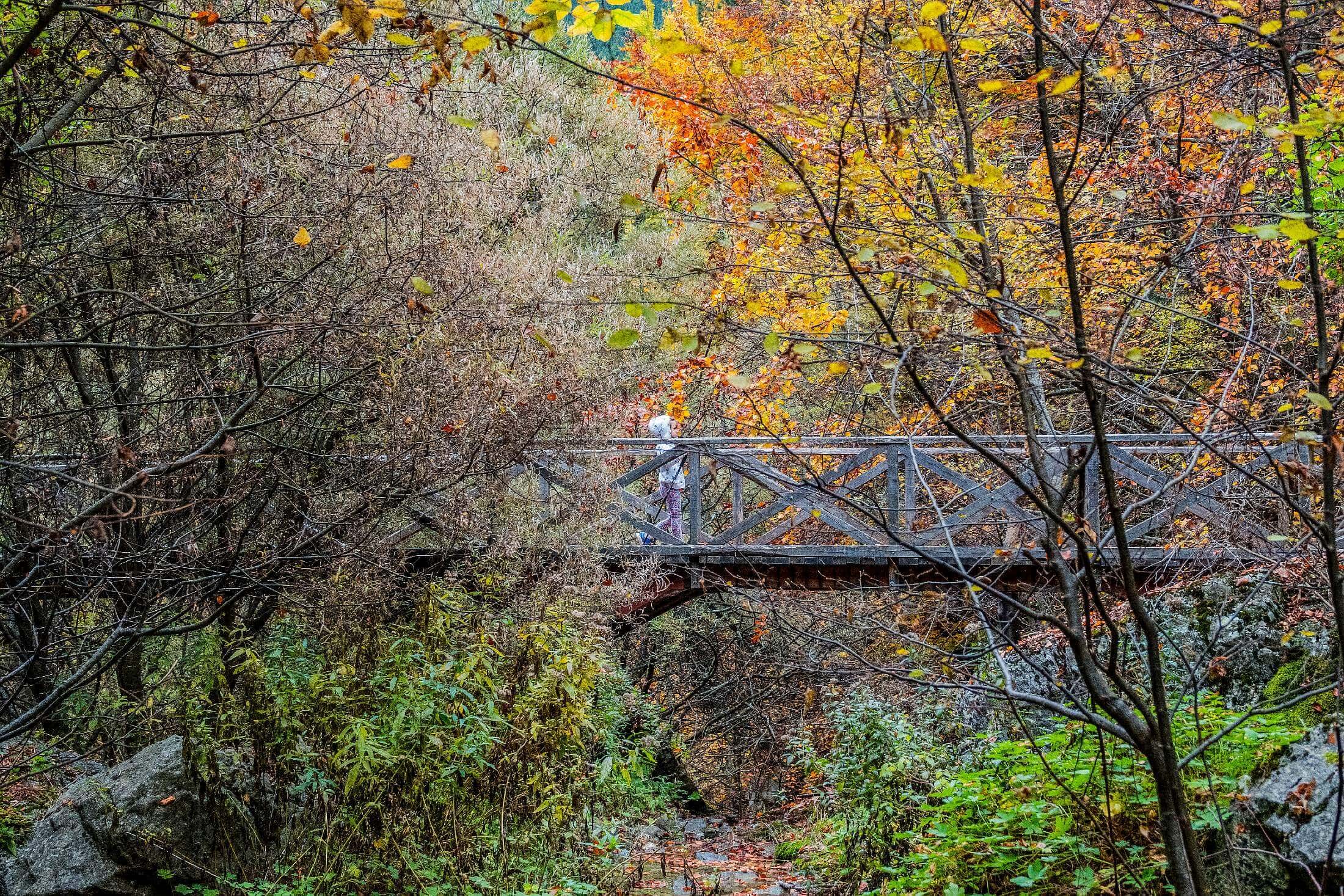
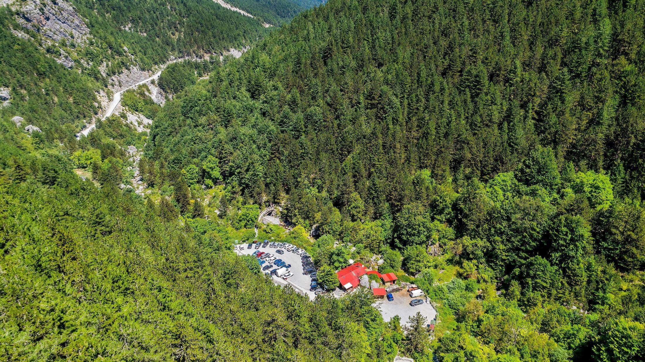
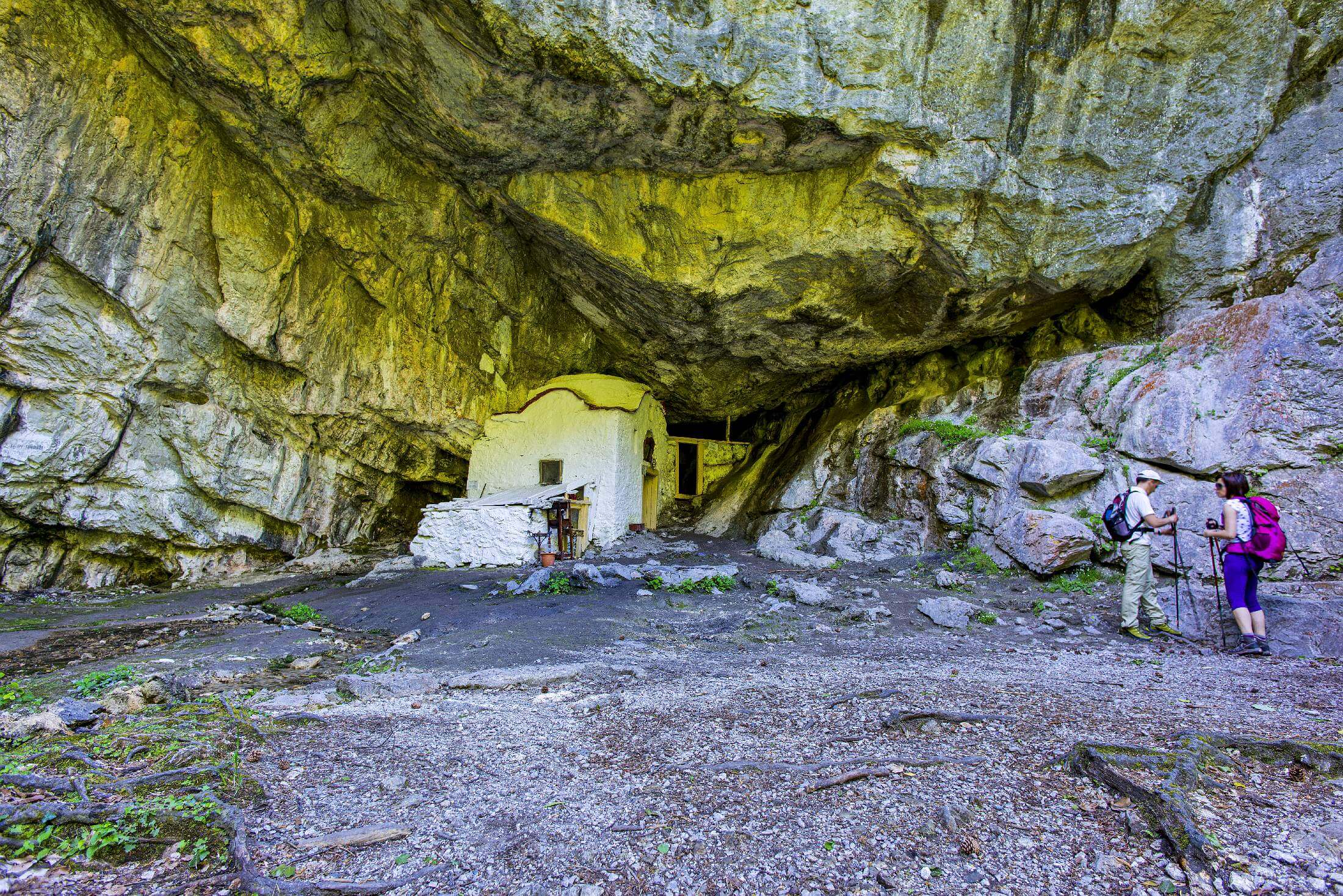
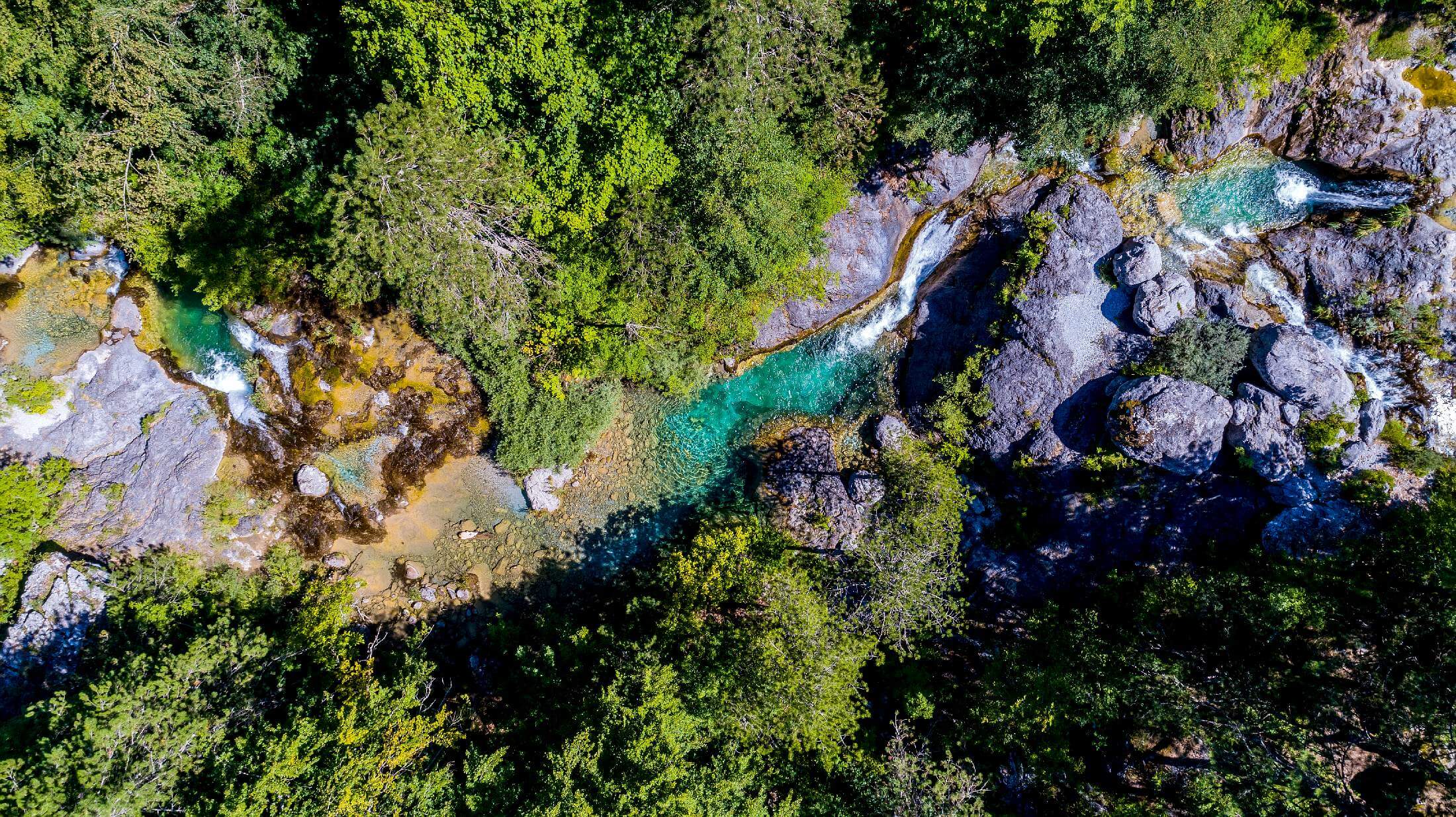
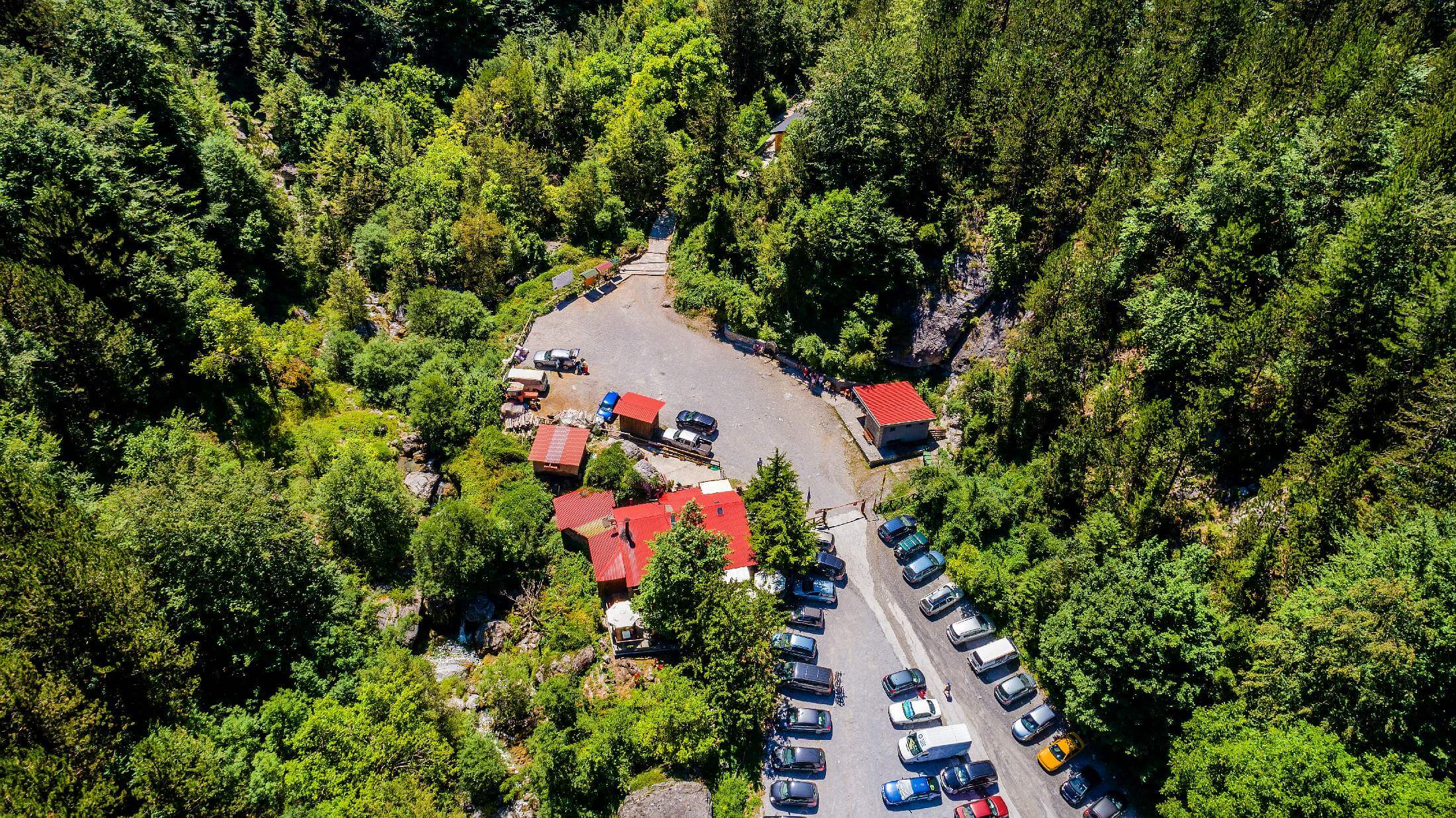
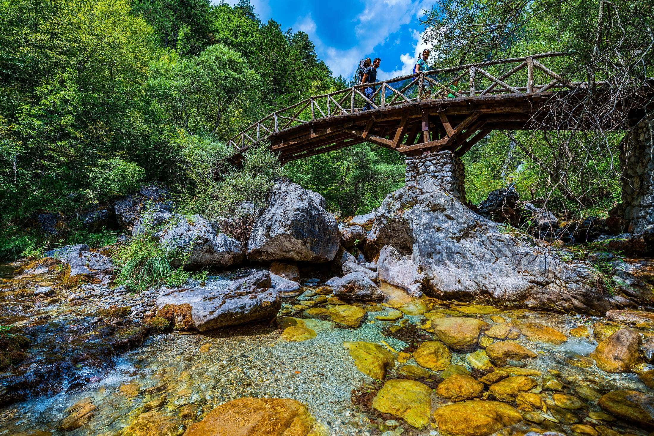
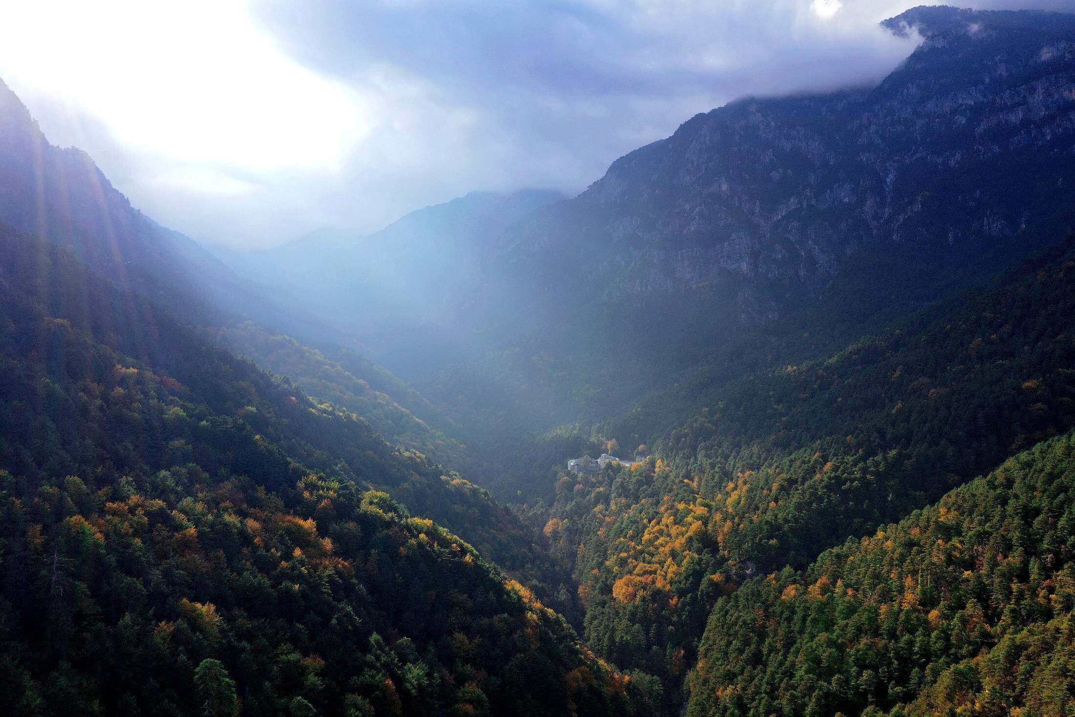
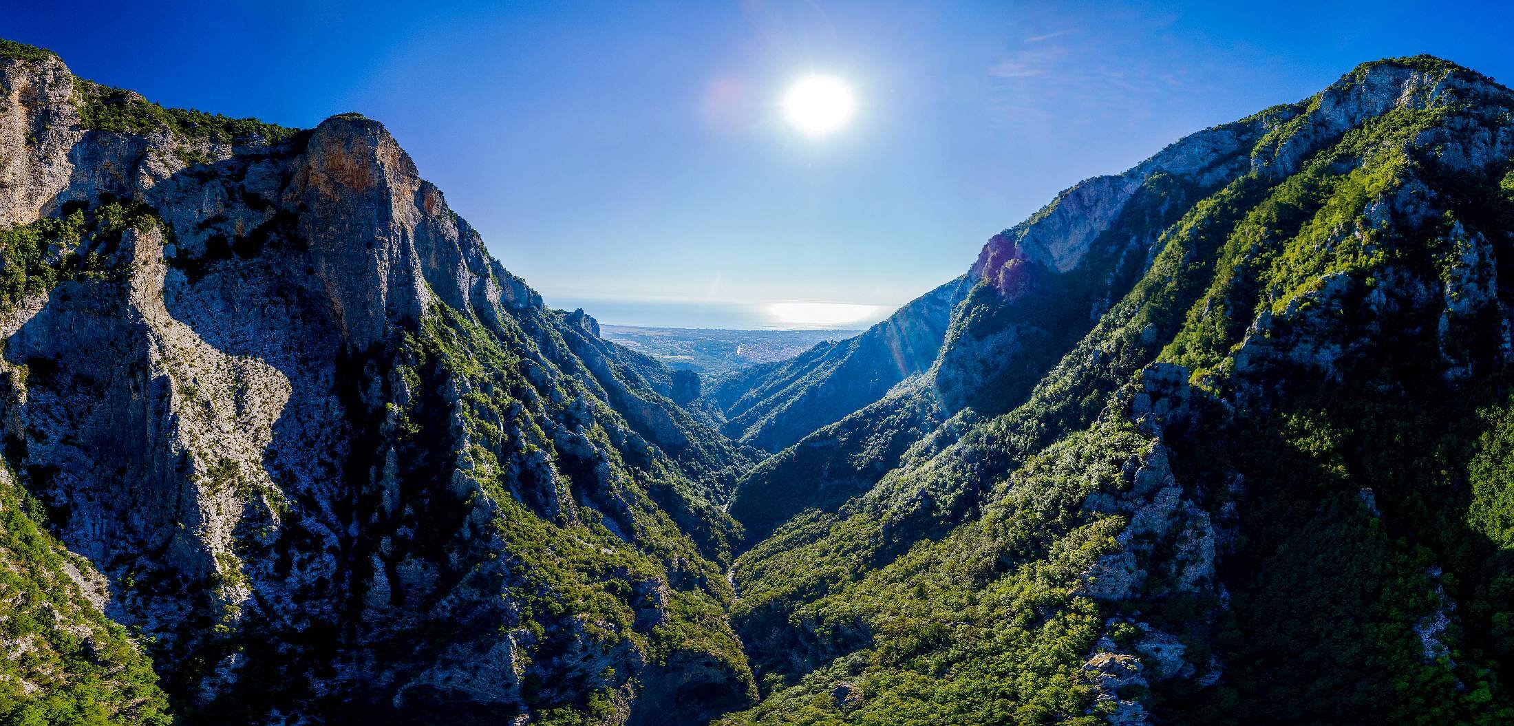
Myloi, over an altitude of 400m, is one of the entrances to Olympus’ National Park. This is where the European Long Distance Path (E4) begins to cross Enipeas Canyon reaching as far as the springs of the river in Prionia (1100m altitude). The canyon is a thrilling experience with much to offer. Traditional wooden bridges and a well-preserved path pave the way through lush forest and surging waters. Sometimes rising high above river-level, and sometimes running alongside the waters, the trail goes past the Holy Cave, Agios Dionysios’ hermitage, and 20 minutes later it reaches Palea Moni, the monastery founded by the Saint in 1542. Used as a shelter, a school and a meeting place during the Greek War for Independence (1821) and up until World War II, the monastery, which is open to the public from April till October, is a place to visit. Further down, at the point where the trail meets the waterfalls of Enipeas, dense vegetation, crystal clear plunge pools and the odors of wild herbs compose an overwhelming scenery, worthy of all the effort made. In Prionia there is parking space and a restaurant. The route Litochoro-Prionia is 18K.
