Church of Agios Dimitrios | Dion
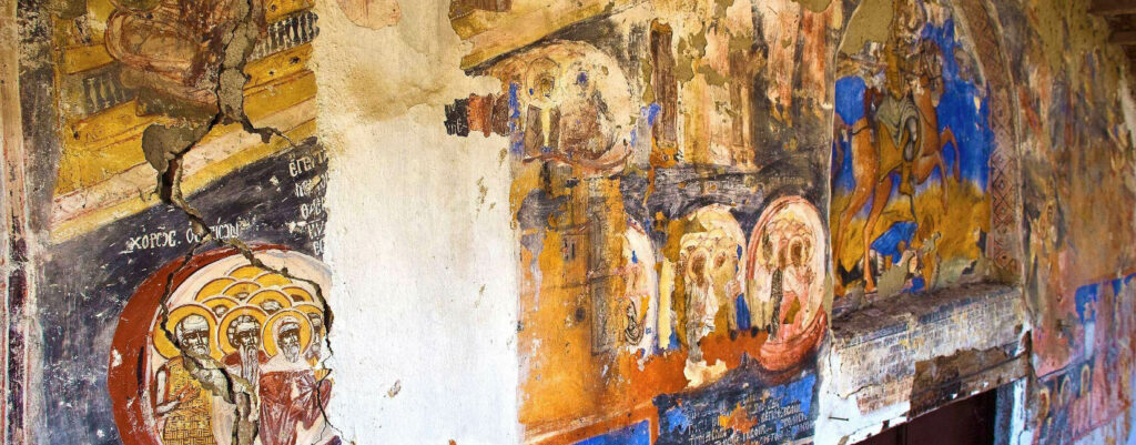
Agios Dimitrios in Dion is a single-aisled church with an open portico on both sides, most probably built during the 16th century. In its western facade, murals created back in 1740 still survive.
Xerolaki
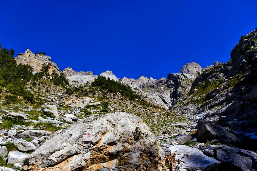
The mouth of stream Xerolaki, whose length is 15 km, is considered to be the biggest one on Olympus. It goes from the peaks of Flampouro and Christaki ending up to river Itamos (Agioneri).
Kokkinopilos
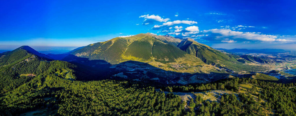
The village Kokkinoplos or Kokkinopilos has become a holiday and relaxation spot, since it is the highest village on Olympus. It has an altitude of 1150m and its stone-built houses hanging from the mountain slopes create an impressive setting. Its name is linked to kokkinochoma (= red soil), which is an important substance for the village. Due to the region’s particular soil consistency, the local people are involved in the production of lime, apart from stock-breeding, wood-cutting and farming.
Valley of Tempi
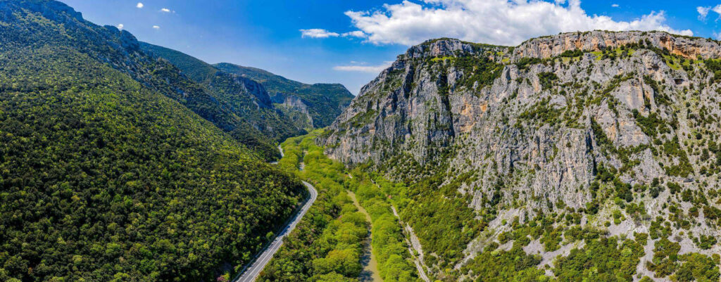
Even ancient Greek Gods were taken aback by its beauty. Between Mount Olympus and Kissavos, with River Pineios flowing through, the Vale of Tempe, which is 10km long, is an ode to the Mediterranean nature and it is easily accessible by car. Walking down the footbridge you will reach the waters of Pineios, just before the river empties them in the Aegean Sea. Cool off under the shadows of the riverside forest, which is full of plane, elm and willow trees, discover the beautiful flowers growing within the rocks of the canyon and watch rare bird species finding refugee in the dense vegetation. There is, also, the chapel of Agia Paraskevi and the cave with the holly water spring, both of which make Tempe a popular place for religious pilgrimage.
Olympus National Park Information Center
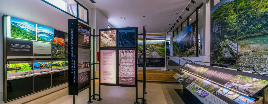
The first introduction to the mountain of gods takes place at the Olympus National Park Information Center, located in Litochoro. Through a plethora of digital images, exhibits, multimedia apps and slideshows, visitors can derive a wealth of useful information regarding paths and routes, data on landscape morphology, fauna, flora, climate, the history of the first ascent, etc. The center also provides, upon request, organized tours with its certified mountain guides.
Katerini
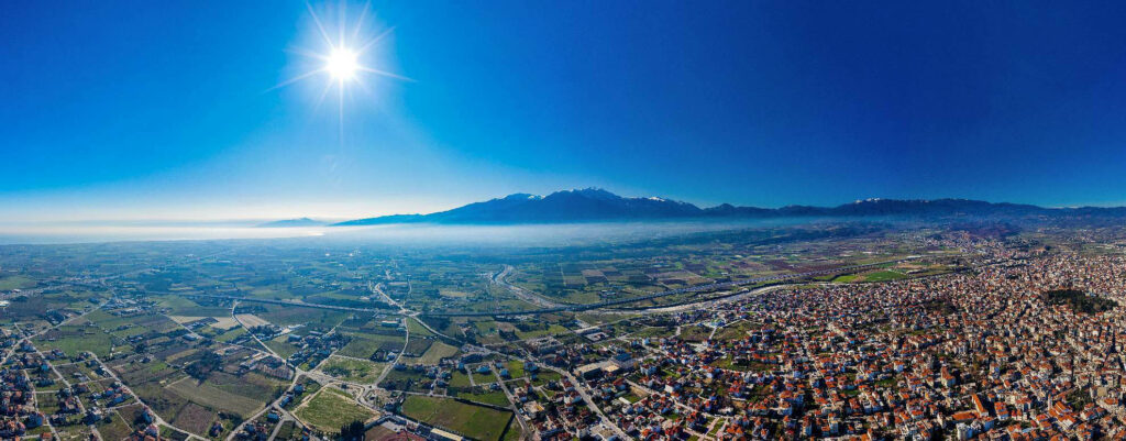
Katerini, the capital of the prefecture, is a comparatively new city, which gradually became an urban centre after the exchange of populations in 1923 and the settlement of refugees from Asia Minor and Thrace. In the early 19th century, it only had 100 houses, while in 1912, the period of liberation, the city numbered 8,000 people.
It developed radically in the postwar years, 1950-1960, and developed into a modern city, a dynamic centre of the administrative, economic, and tourist activity of Pieria.
Concerning the origin of its name, it is believed to come from the church of Agia Aikaterini built by refugees, who settled in the early 18th century, coming from the Peninsula of Sinai. The name Aikaterini is used to refer to the city in relevant documents and maps of the 19th and early 20th centuries. Archaeologists and travelers, however, mention that the name Katerini is an alteration of the ancient city Atira (Katira, Kateri), which was located in the area and was still inhabited in Christian times.
Katerini is situated at a strategic point, along the road axis Athens-Thessaloniki. Presently, it is a modern densely constructed city with all the infrastructures of a major urban center that satisfy all contemporary needs. The central axis of the city is the pedestrian street, Megalou Alexandrou, with many cafes and shops. Some of the sights worth visiting include the central park, and the Municipal Gardens, with its rich flora, its tall trees and recreation areas. From Katerini of the mid-war years with its low houses only very few old buildings are extant, like the restored mansion of Tsalopoulos. Another attraction is the Folklore Museum of Katerini with relics of the refugees (costumes, homeware, icons, etc.) especially from Pontos.